A Cartographic Rendezvous Into Historical Las Vegas


“Las Vegas is the greatest city in the world. It has a long and fascinating history, but unfortunately the many books that have been written about it rarely provide maps.”
Joe Weber
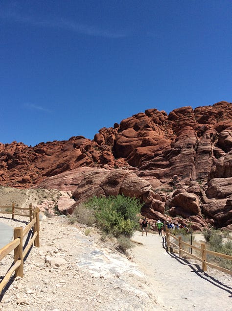
When it comes to Las Vegas, drinking and gambling are of no appeal to me. Rather it is the topographical landscape of the Mojave Desert on which Vegas sits that sends me on a perpetual high.
Honestly, I love the intimacy of the mountains and succulent plants that the area is known for. I even geek out on the heat, that is as long as it remains below 115 degree fahrenheit.
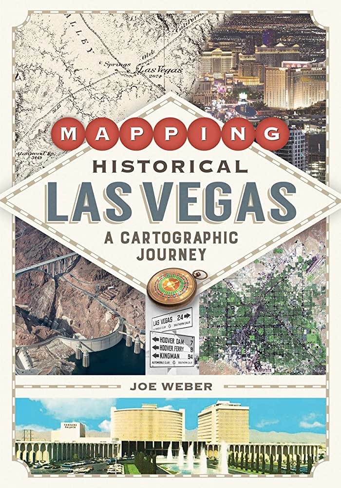
My Vegas fascinations led me to a new book I am voraciously reading entitled “Historical Las Vegas: A Cartographic Journey” (University of Nevada Press)
Written by Joe Weber, a professor of geography at the University of Alabama (and may I say a Ph.D. grad from my alma mater, The Ohio State University), it’s a book filled with cartographic illustrations that offer a captivating look at Vegas and its surrounding regions. Like me, readers will take in perspectives on the evolution and geographic shifts surrounding the city’s growth including the role that water, public lands, transportation routes and the construction of casinos have played in all of this. What I love most about the book is Weber’s use of 137 color maps created through GIS to paint a narrative of the city’s past and present.
I recently reached out to Weber who was kind enough to respond to a few questions that add some context around his journey in writing the book.
What was the main catalyst behind your decision to write a cartographic oriented book about Las Vegas?
The book grew out of some research I was doing about the Colorado and Virgin Rivers before Lake Mead. I had to dig through countless old maps and historic records, much of which connected to what was going on over the mountains in the Las Vegas Valley. At some point I realized I needed a broader view and decided a book would be the best way to do that. It was also apparent that most books on Las Vegas had few maps, and there seemed to be great potential to introduce maps to visualize the growth of the city.
Were there any surprise discoveries for you in researching the book?
I learned quite a lot about Las Vegas while writing. One surprise was that the Meadows Mall was the location of the springs that provided water to the area. I had always assumed the original springs were over near the Old Mormon Fort. An even bigger surprise was the existence of Duck Creek in the southern end of the valley, which was the original source of the name ‘Las Vegas’. I had no idea that place had ever existed. I also learned about the city’s legacy of Jim Crow racial segregation, something I had never heard of in Las Vegas before.
In your view, what are three of the biggest misconceptions that the average everyday person has about Las Vegas?
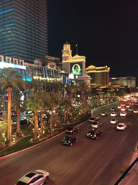
The first simply must be that there isn’t really a city there, there is nothing but the Strip. It’s hard to believe anyone could seriously think that today, but it still happens.
The second is that all the lights on The Strip are powered by Hoover Dam, and couldn’t exist without the dam. Nothing could be farther from the truth.
A third is that the city has no history.
What 3-5 land and environmental trends do you see emerging in the Las Vegas area over the next 12-18 months?
There are several big developments in the news with adjustments necessary to the apportionment of the Colorado River and the possibility for a high-speed railroad from Southern California. These could both lead to important changes in Las Vegas, yet the historical record suggests that they won’t. Las Vegas has done an amazing job of reducing water use, and will likely weather any changes to the availability of Colorado River water without much strain.
A train from LA could increase tourism, take traffic off I-15, and help cement the idea of Las Vegas as a large metropolis, yet I don’t expect construction to happen anytime soon (if ever). The completion of the Las Vegas beltway will be an important event in the urbanization of the valley within the Land Disposal Boundary.
There will surely be a considerable amount of development in the northeast part of the valley once this happens. Any final decision about residential development in the Blue Diamond hills will also have lasting effects.
Describe what readers can ultimately expect to get out of Historical Las Vegas: A Cartographic Journey
They can expect to learn a lot about the development of the city, what has been lost as the city grew, and what exists beyond the Strip and over the mountains (though that last part might be of more interest to those who live in the city). I hope readers will have learned that the greatest city in the world extends geographically well beyond the Strip and historically far beyond Bugsy Siegel.


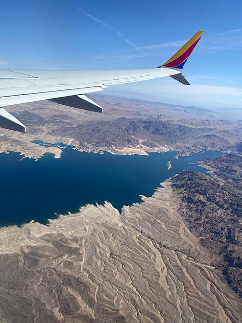
Fascinating. I’ve been to Las Vegas twice as an adult, once driving a rental car from California and years later flying in from Atlanta. Both trips were eye-opening in terms of topography. (I’m not much of a gambler or drinker either, although I do my share of people-watching...) High-speed rail from California would be brilliant!